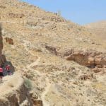
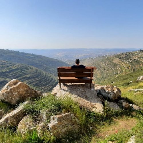
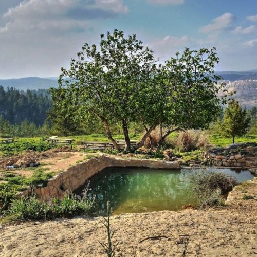
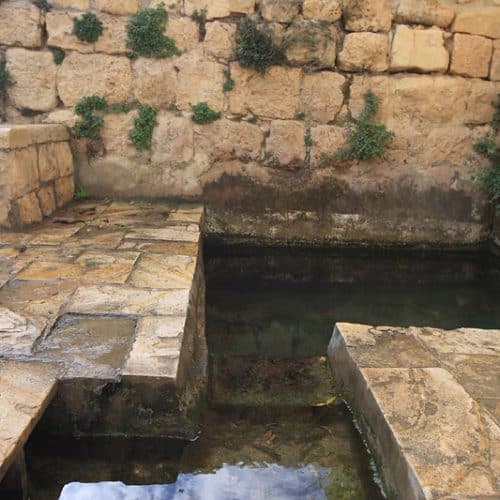
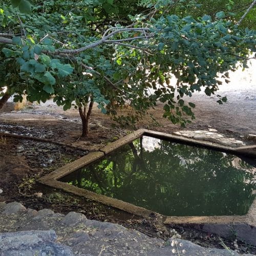
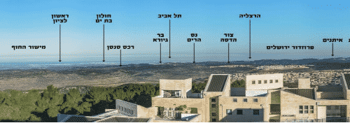
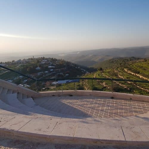
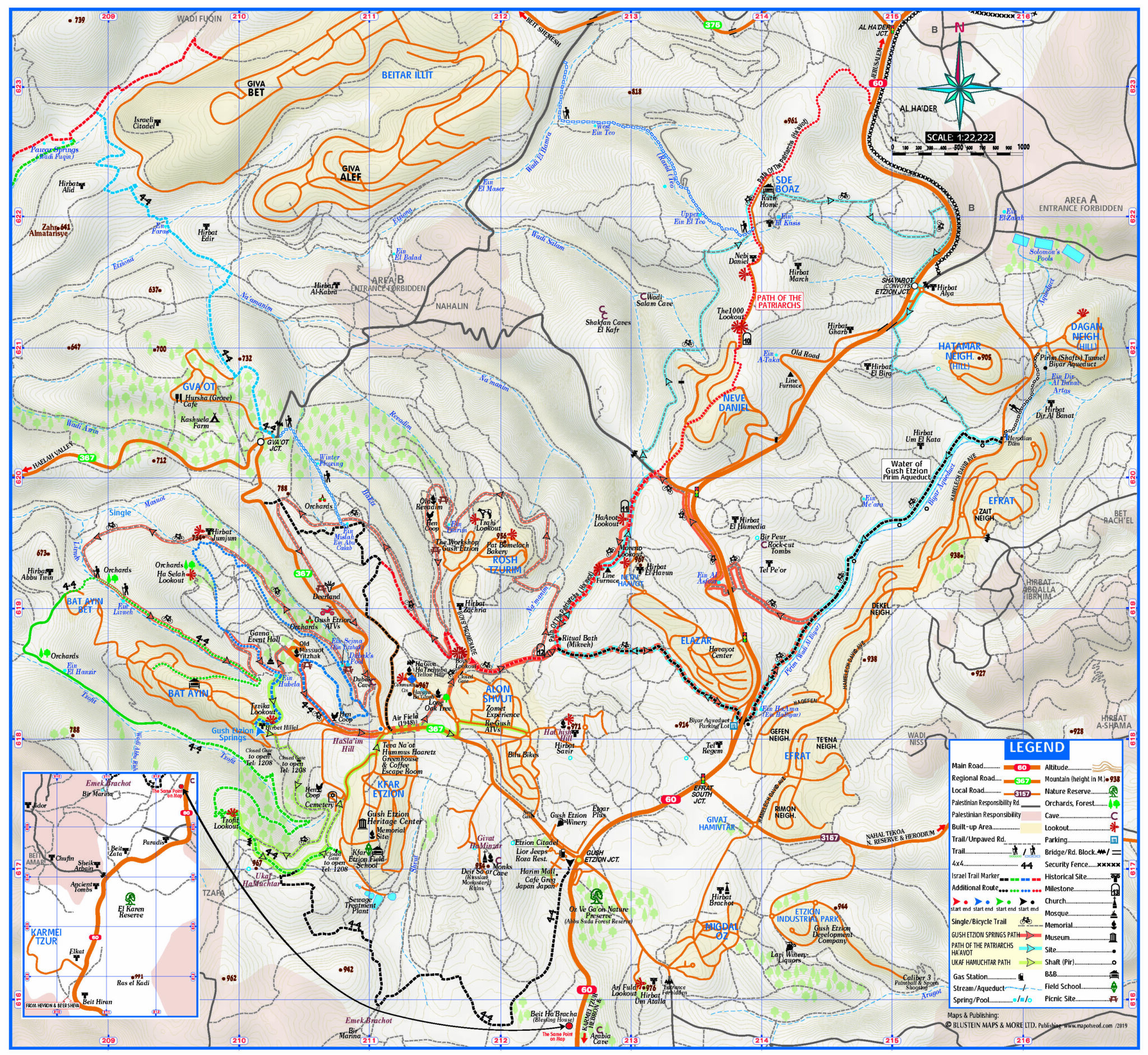
Starting point: Tekoa
End point: Tekoa
In 1969 a group of volunteers from the Jerusalem branch of the Society for the Protection of Nature, headed by Gideon Mann, set out to comprehensively map this cave. They produced an accurate and detailed map that included every traversable cavern and tunnel.
It turned out that the cave is far larger and more complex than they originally assumed. Here are some statistics:
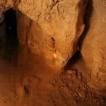
The depth of the cave (in other words, the distance from the entrance to its furthest point) is some 400 meters.
The combined length of the tunnels is approximately 4 kilometers.
There are 55 caverns and rooms.
The cave is on 4 levels, but the differences in height are not uniform. In some places there is a difference of up to 3 meters between the first and second levels, up to 7 meters between the second and third levels, and up to 12 meters between the third and fourth levels.
As previously mentioned, the aim of the volunteers was to draw a detailed and accurate map of the cave, not to study it.
Now that the map exists, we hope scientists and researchers will utilize it in order to examine its geology, the remnants of past history to be found here, the living creatures that populate it, and more.
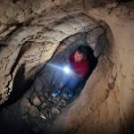
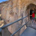
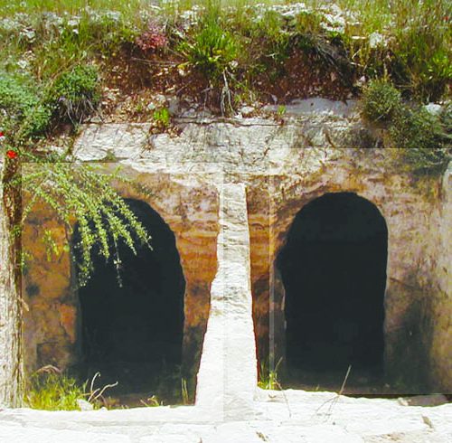
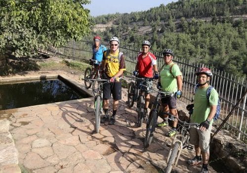
Entrance to the cave is only permitted with experienced guides.
לתוך המערה יש להיכנס רק עם אנשים המכירים את המערה! ניתן לתאם סיור במערה עם מדריכים מבית ספר שדה כפר עציון: 02-9935133


